

By Madison Henry
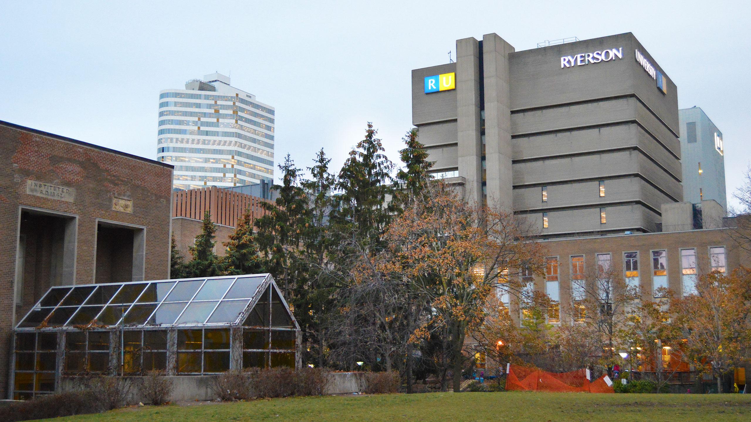
While walking through Ryerson’s campus you might look at the trees and wonder: What types of trees are they? How do they help Ryerson campus? Coming from Ryerson’s Urban Forest Research & Ecolological Disturbance Group is an app called Citytrees that gives users all the information that they could ever want to know about the trees around them.
Dr. Andrew Millward, an associate professor at Ryerson and a co-founder of Citytrees says that the inspiration for the app came from the trees on Ryerson’s campus.
“Ryerson’s modest collection of trees are of immense value to the space in which some 30,000 students regularly attend class. Allowing these trees to share, with interested Ryerson community members, their unique features and benefits was a driving force behind the creation of Citytrees,” he said.
“Trees represent important natural capital—green infrastructure—in our cities and, too often, their requirements for growth and vitality are overlooked or neglected in our collective human process of constructing and reconstructing our urban spaces”
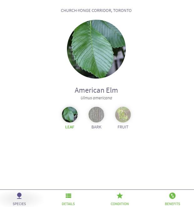
Profile of an American Elm on the app. Photo: Madison Henry
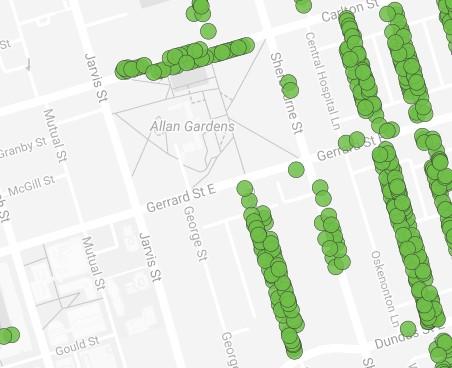
Distribution of trees around Ryerson campus. Photo: Madison Henry
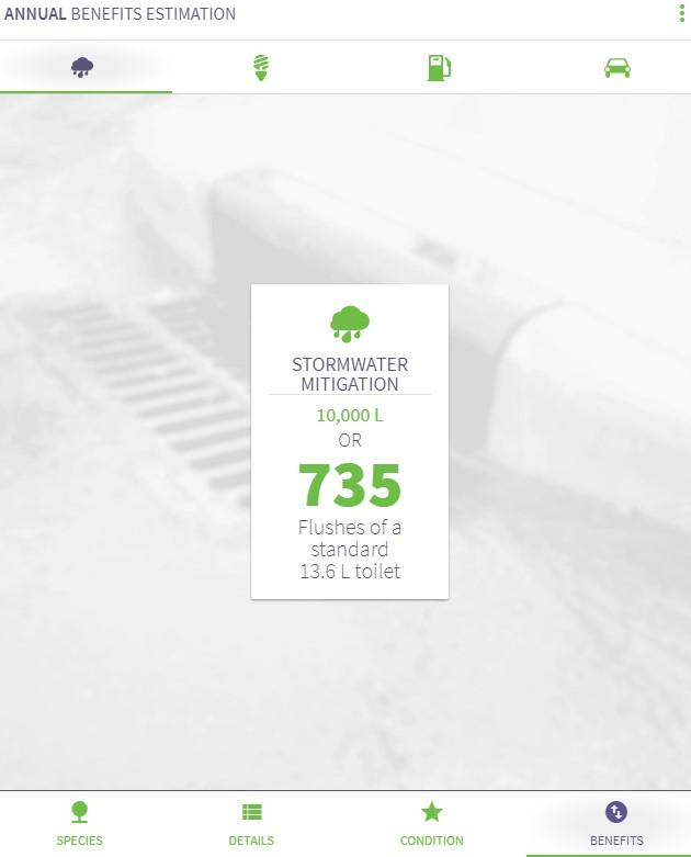
Stormwater mitigation rate of a tree of campus. Photo: Madison Henry
Citytrees lets users register and map the trees that they see around them. Using Google Maps, Citytrees shows trees the user is passing by and gives them information about the trees. Everything from the type of tree shown, to the type of fruit that it bears, to the way that it benefits the environment is available on the app.
By downloading the app and having their phones location services turned on, users can also receive prompts telling them information about the trees that they pass in real time. Users are also able to add their own observations about the trees that they pass into the app.
When asked about the future of Citytrees, Dr.Millward said he would like to see a Citytrees app established with several focused themes like K-12 education, citizen science capabilities for tree inventory, tracking and stewardship on public and private land, and a fun complement to municipal data inventories designed to animate tree cover across Ontario urban neighbourhoods.
“We’d also plan to make learning about the benefits of urban trees more palatable through things like gamification and social media,” he added.
Dr.Millward sees a very bright future for Citytrees and the positive impacts that it can have on the environment.
“The urban forest should be viewed as one large ecosystem and not a collection of disjointed and disconnected patches of trees. Nevertheless, this is how our data describing trees currently exists. The existence in this format perpetuates the myth that connectivity of nature is not necessary or important in urban areas.”
“Citytrees goal is to connect all of these data [some in paper format and others in digital format held by citizens and community groups], in a virtual sense, and help us to understand the interconnectedness and interdependence of our urban forest as an ecosystem.”


Leave a Reply